Maps
The collection of maps from The Circle of Ceridwen Saga and Sidroc the Dane. The maps are of Great Britain and Scandinavia, including Denmark, Finland, Sweden, the Sami territory, and Gotland in the Baltic Sea.
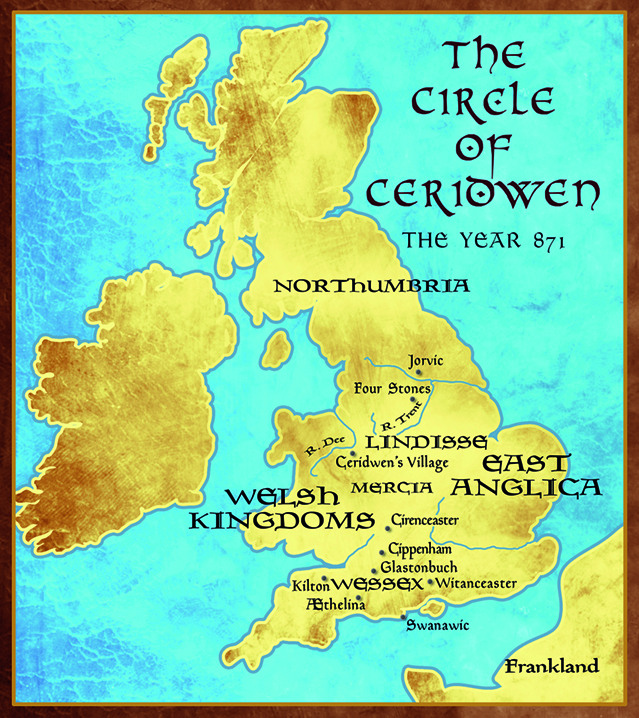
The Circle of Ceridwen: the year 871
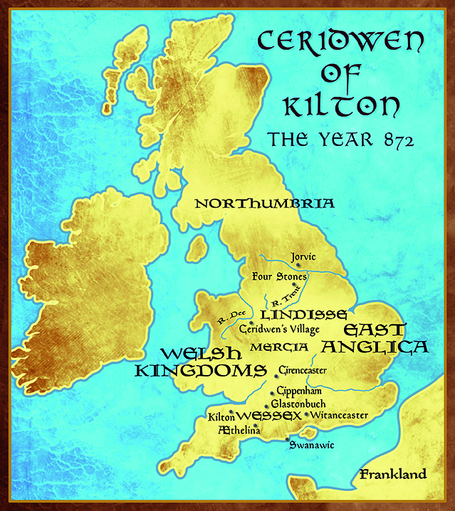
Ceridwen of Kilton: the year 872
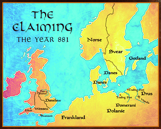
The Claiming: the year 881
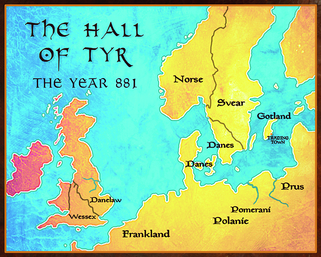
The Hall of Tyr: the year 881
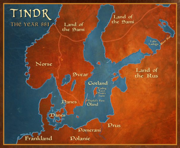
Tindr: the year 881
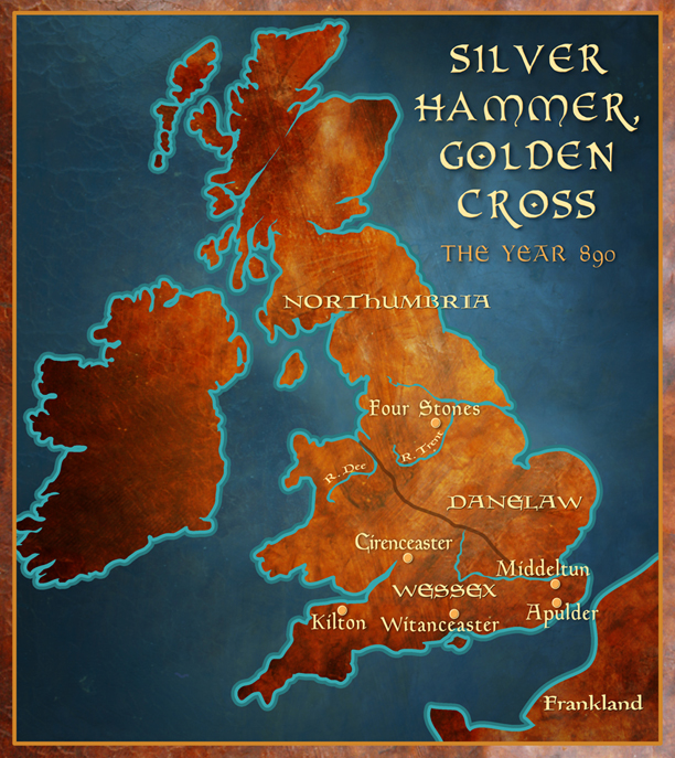
Silver Hammer, Golden Cross: England 890
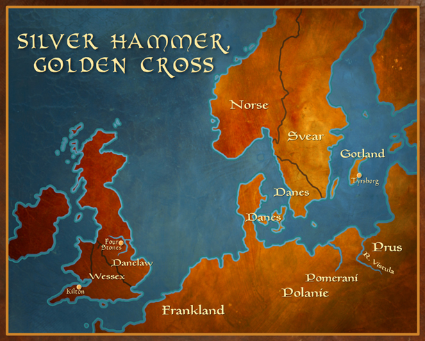
Silver Hammer, Golden Cross : England and Scandinavia 890
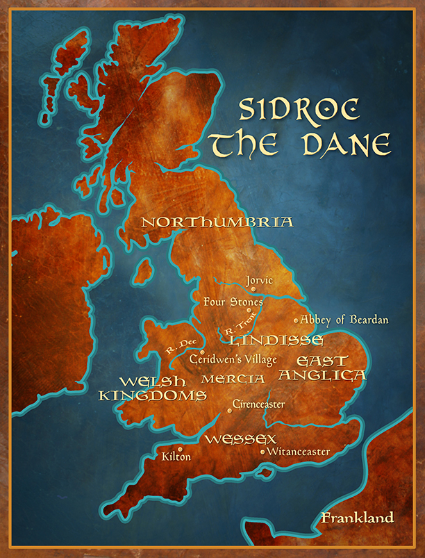
Sidroc the Dane: England 847
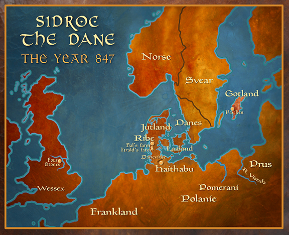
Sidroc the Dane: Scandinavia and England 847
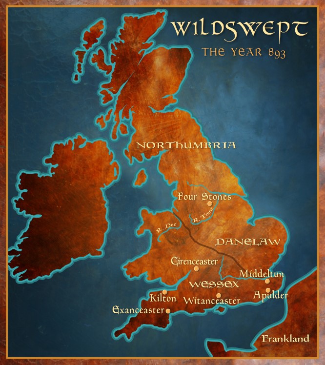
Wildswept: England 893
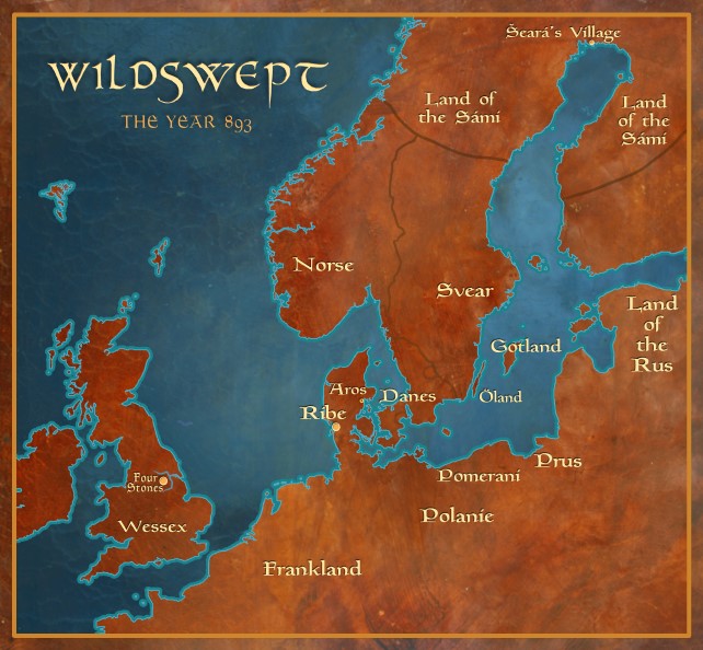
Wildswept: Scandinavia and England 893
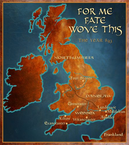
For Me Fate Wove This: Map of England 893
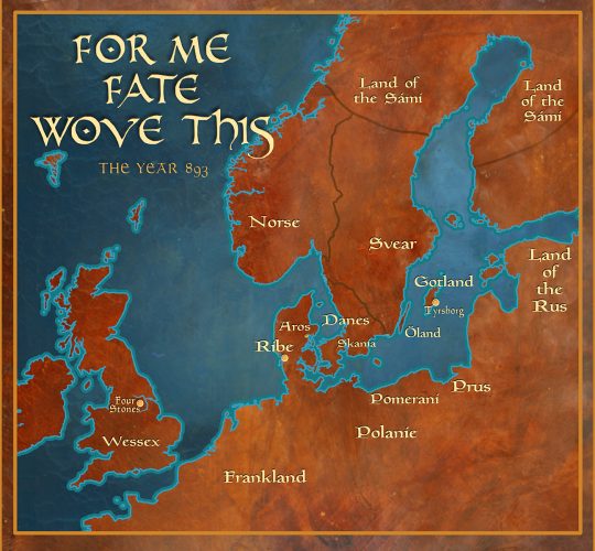
For Me Fate Wove This: Map of Scandinavia and England 893
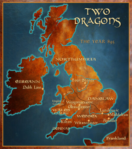
Two Dragons: Map of England 895
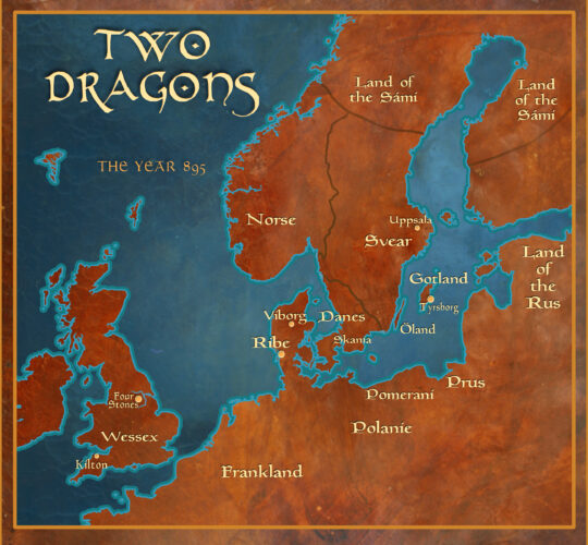
Two Dragons: Map of Scandinavia and England 895
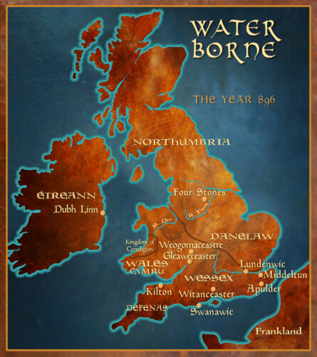
Water Borne: Map of England 896
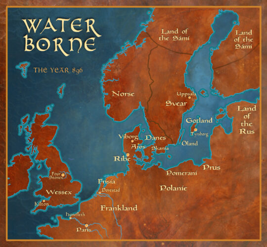
Water Borne: Map of Scandinavia and England 896
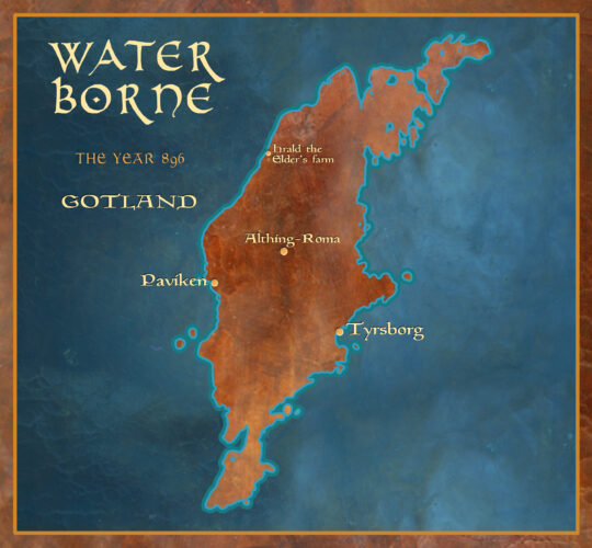
Water Borne: Map of Gotland 896
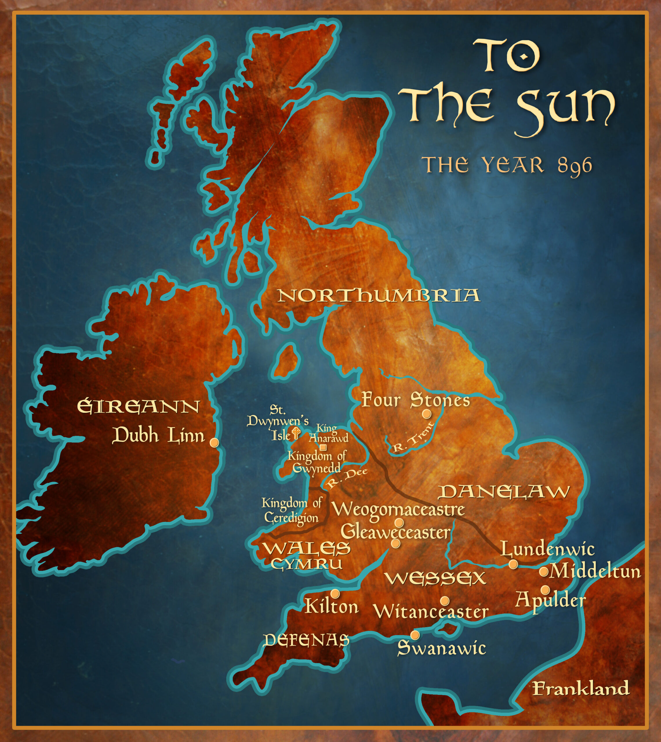
To the Sun: Map of England 896
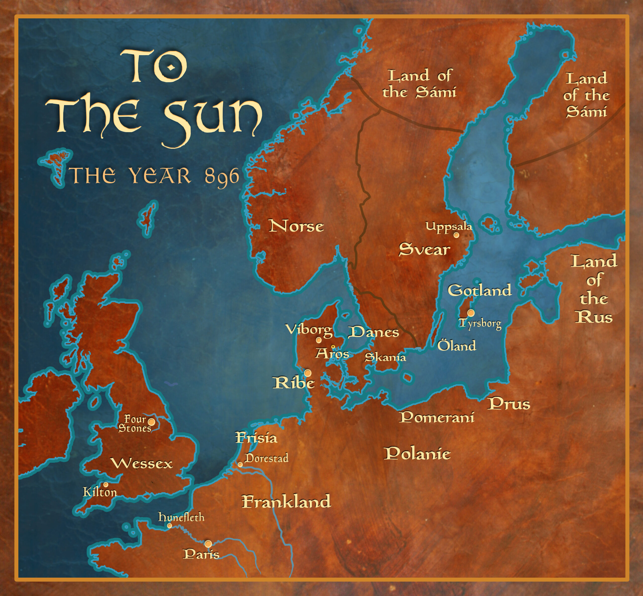
To the Sun: Map of Scandinavia and England 896
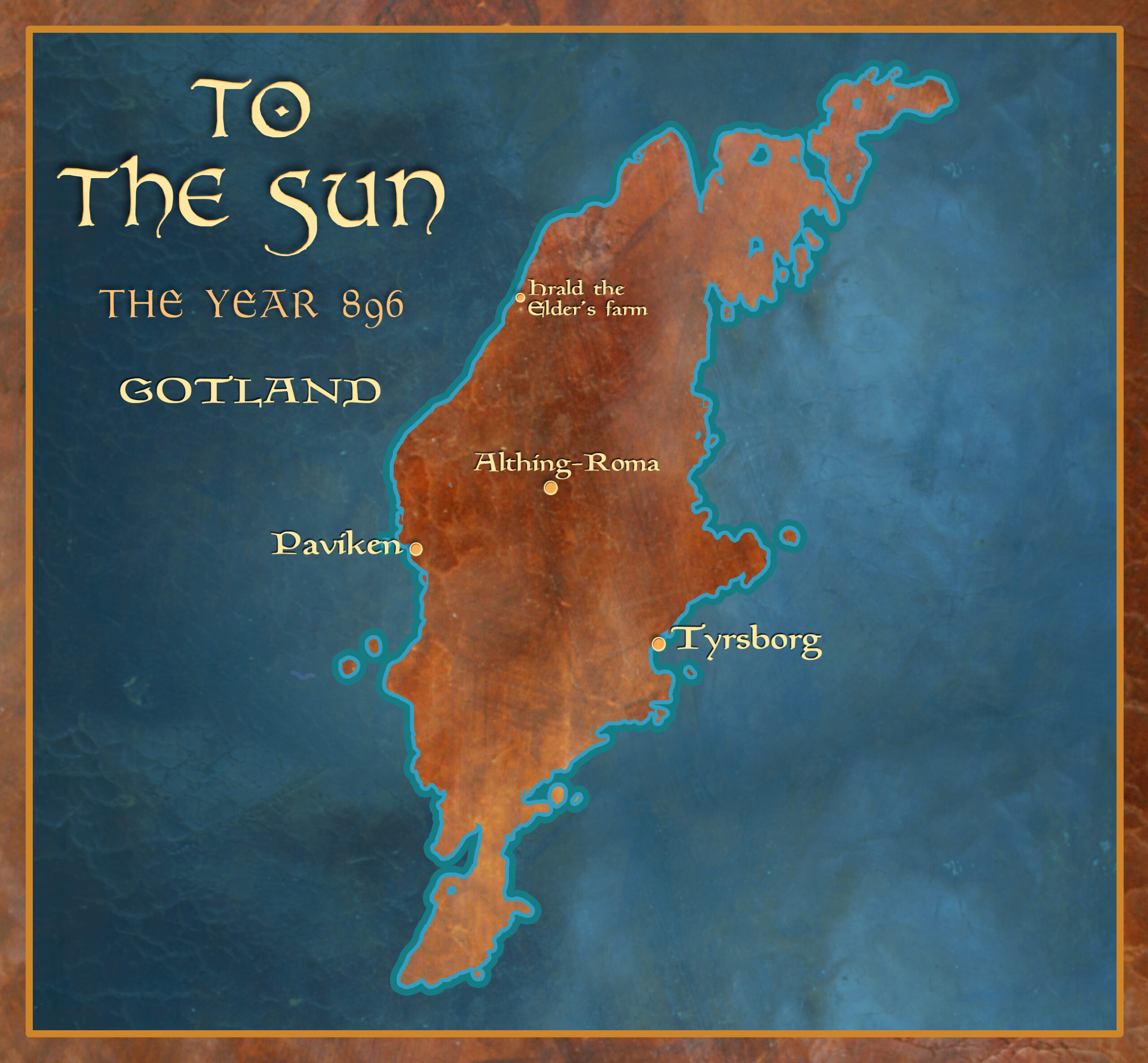
To the Sun: Map of Gotland 896
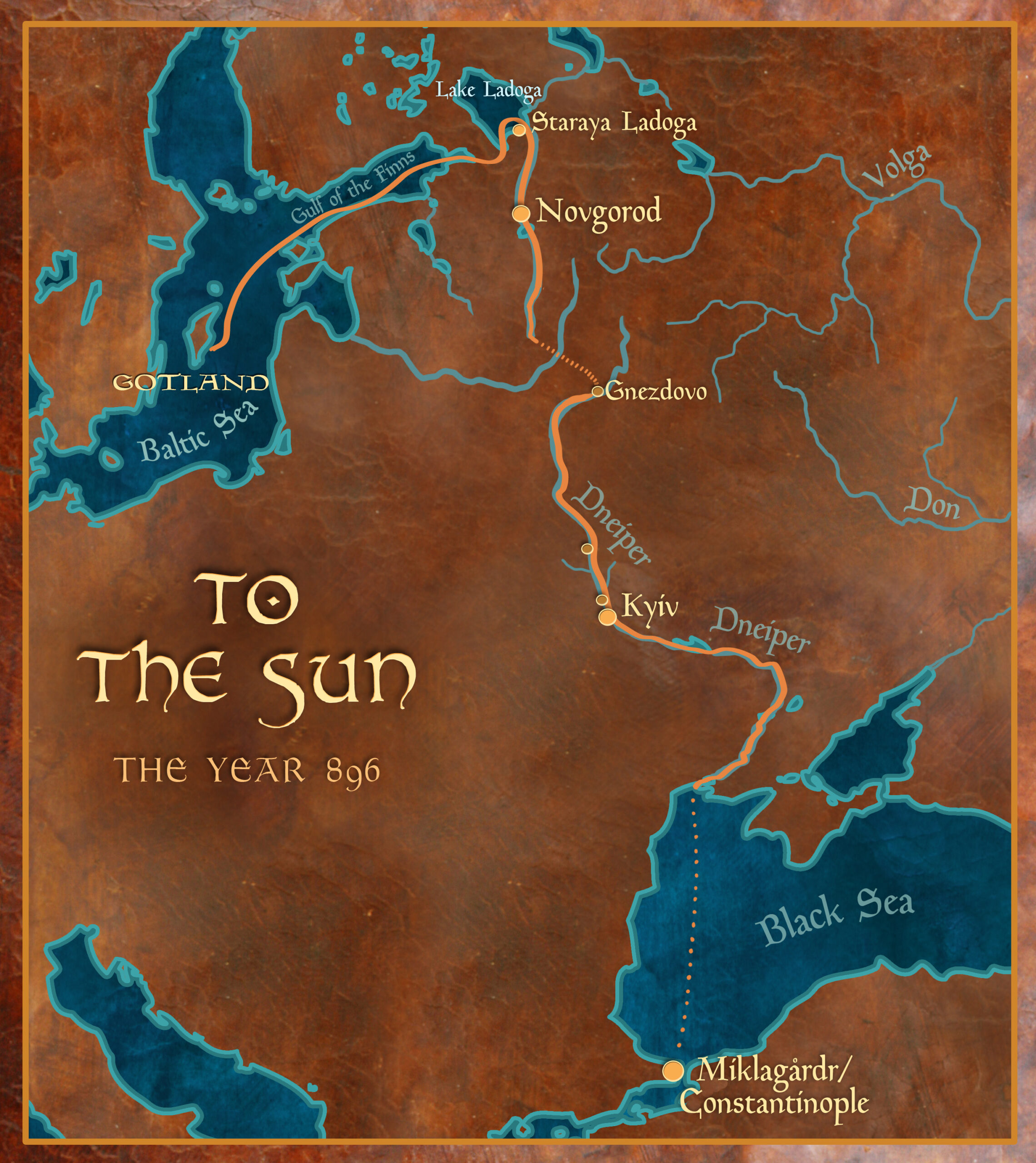
To the Sun: Map of Expedition 896

I am STILL confused: how far east did the ship in “The Claiming” go before the Danes overtook and captured it? The maps make it appear that there is hardly any distance between the southern parts of Denmark that lets into the Baltic. Is this the way that Sidroc’s trading ships went?
The Idrisid ship that kidnapped Ceridwen and Sidroc had made it around the horn of the Danish islands and into the Baltic proper when it was chased down by the Danish drekar. And yes, the reverse of this route is the very same that Sidroc’s trading ships would need to travel to make it to Frankland with those valuable furs and amber and goshawks!
Yes, thank you. I was wondering how the country was setup.
Thank you for posting these maps! I just finished reading Circle of Ceridwen and the maps are quite helpful in understanding where things take place.